Flow: Can You See The River
2008-2011, Indianapolis Museum of Art, Indianapolis, IN
FLOW: Can You See the River? was a precedent project for CALL//City as Living Laboratory. It brought together artists, scientists, policy makers, and others to raise awareness about the importance of the White River watershed. Mary Miss worked with the Indianapolis Museum of Art in 2011 to implement the city-wide art installation, which was paired with an exhibition at the museum and diverse programming.
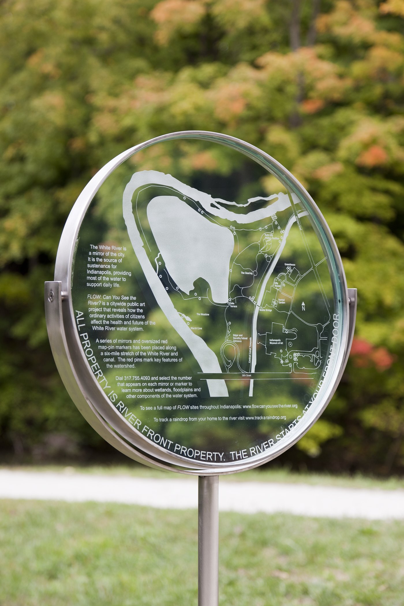
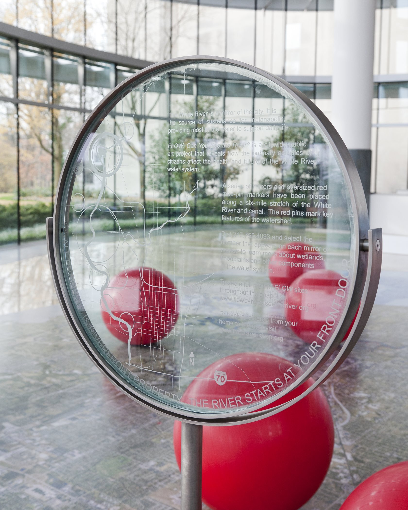
The White River, which runs through Indianapolis, is a major source of drinking water, supports hydrapower and provides habitat. Miss saw the river “as a mirror of the city” and incorporated mirrors into the installation of waysides that wound six miles through the watershed. The watershed installation invited visitors to slow down and take notice of their surroundings, and to access additional information via their cell phones.
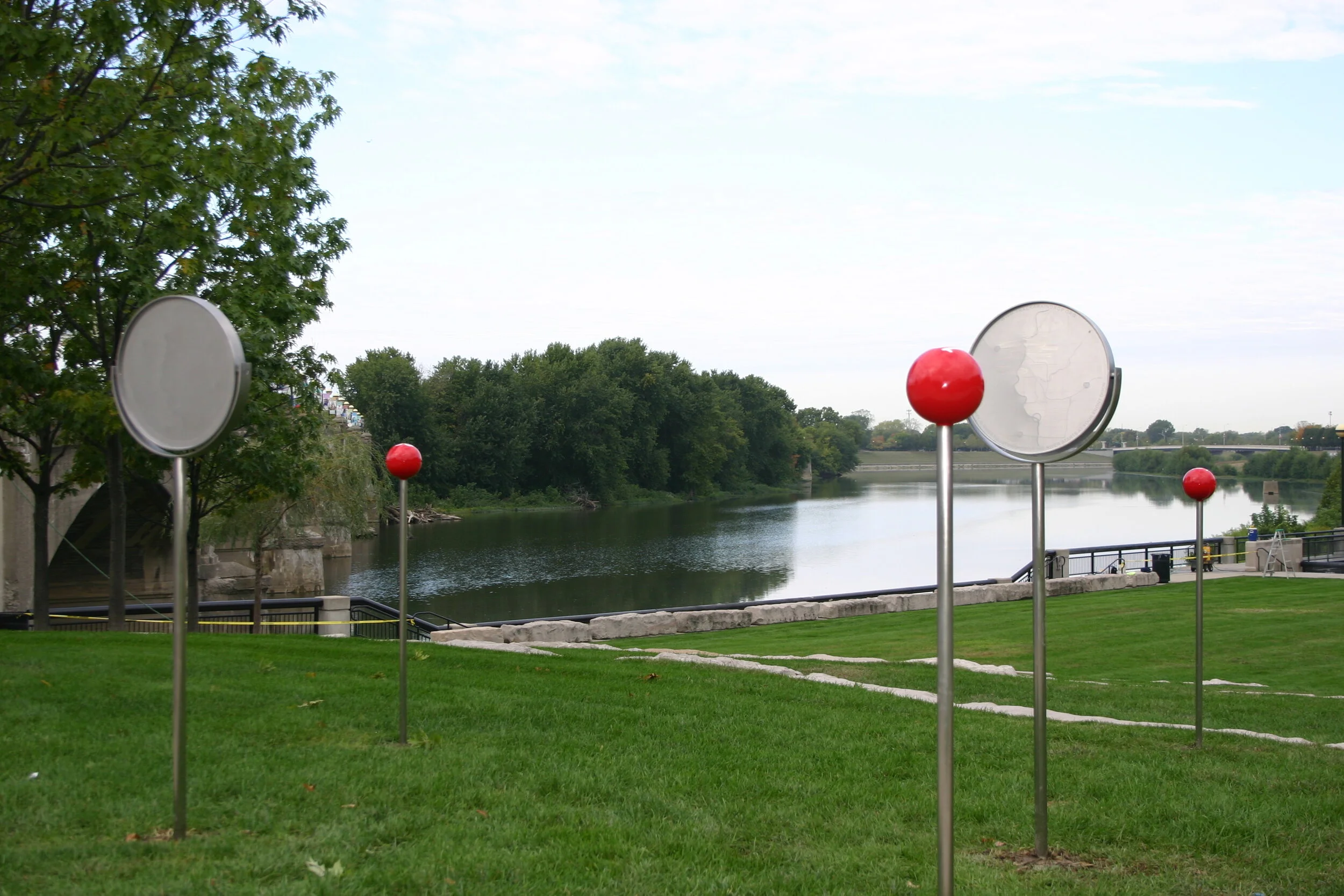
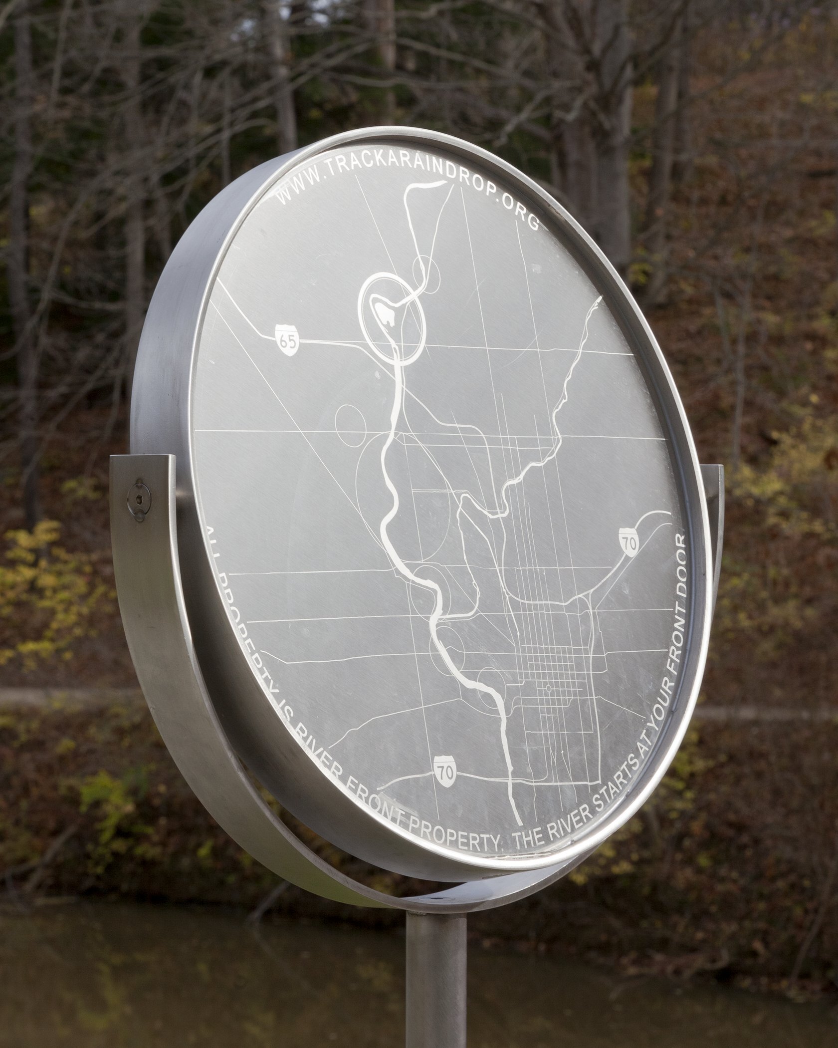
The exhibition at the museum had both exterior and interior components. Three-foot diameter red dots were installed on the façade of the museum to symbolize the six water systems that sustain the museum building. Eighteen-inch red fabric bands marked the 100-year flood levels on the trees around the museum and the lake. Inside the museum, Miss installed a walkable map of Indianapolis that enabled visitors to locate their home and to orient it to the river, thus illustrating that all property is “riverfront” property.
The project was co-created and facilitated by EcoArts Connections, which included more than twenty leading arts, science, environment, and municipal organizations and agencies. Project partners included: Indianapolis Museum of Art, United States Geological Survey, Indiana University, Purdue University Center for Earth and Environmental Sciences, Indianapolis Mapping and Geographic Infrastructure System, City of Indianapolis, Marian University, The Indianapolis Project School, Upper White River Watershed Alliance, Eiteljorg Museum of American Indians and Western Art, and the National Weather Service Weather Forecast Office Indianapolis.

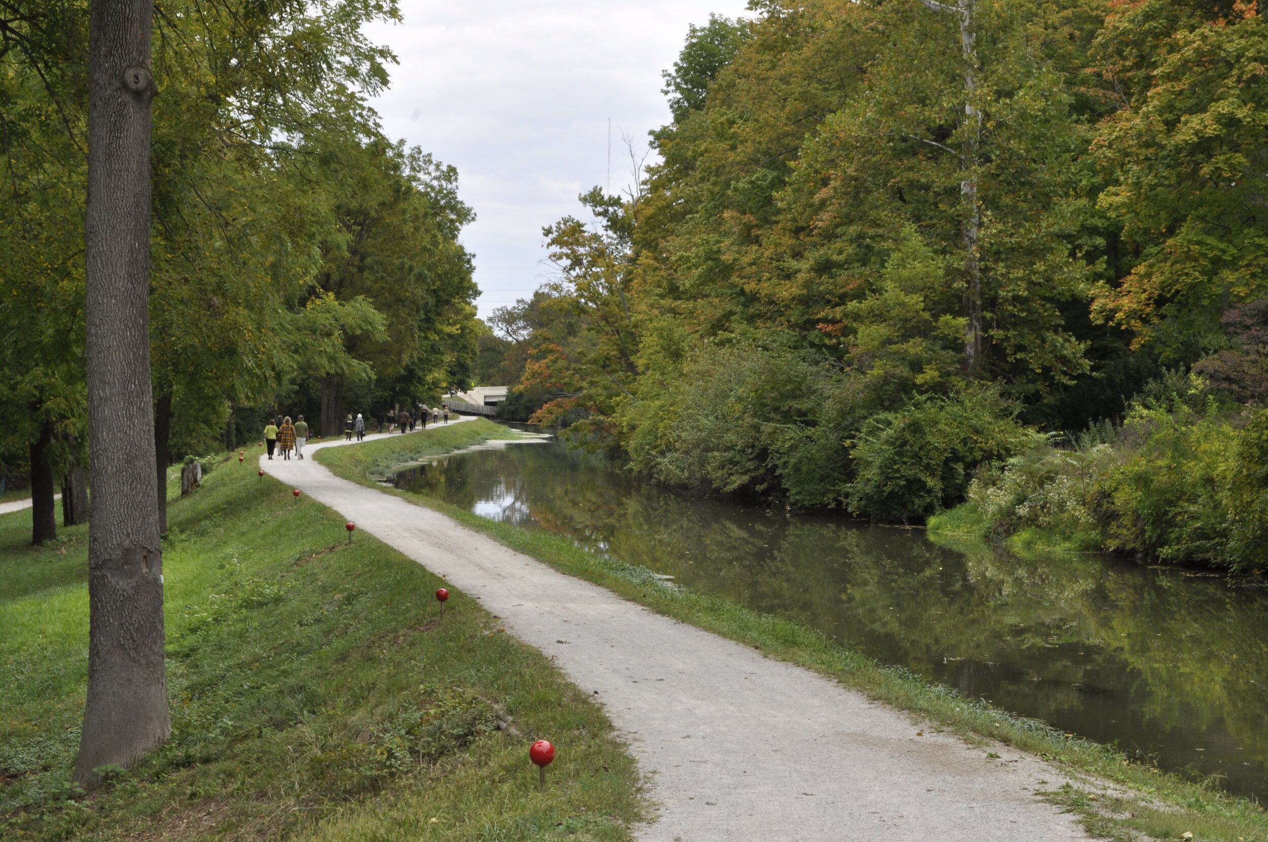
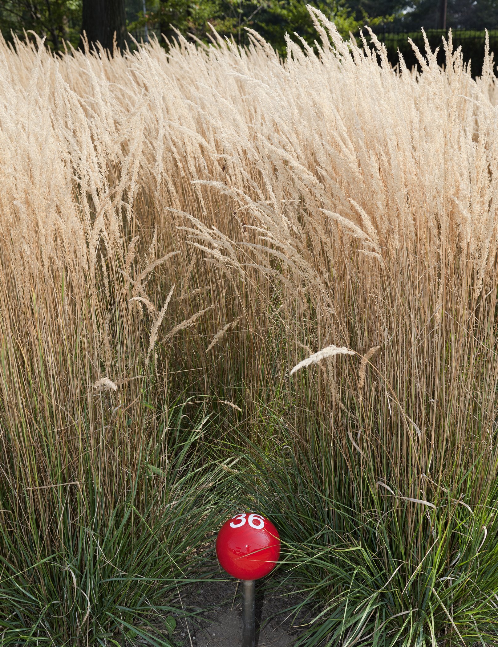
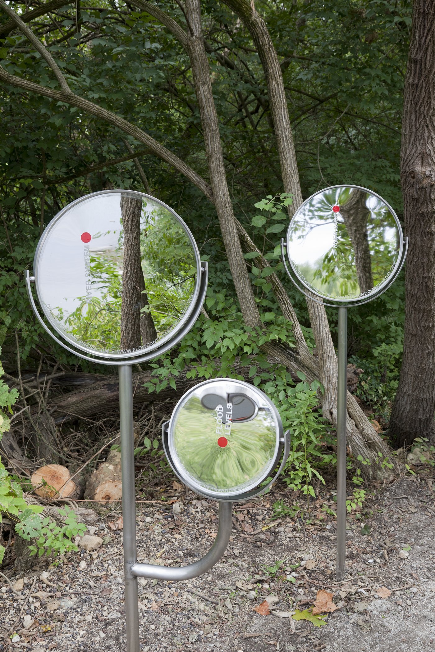
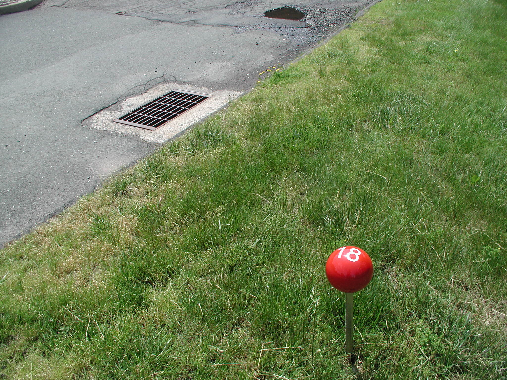
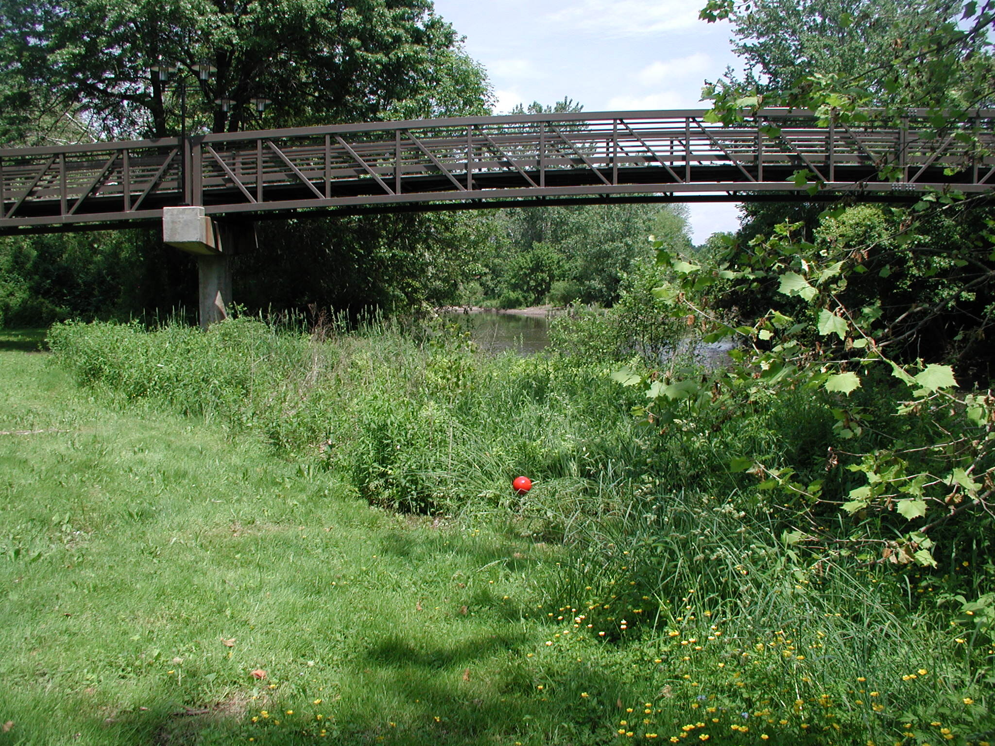
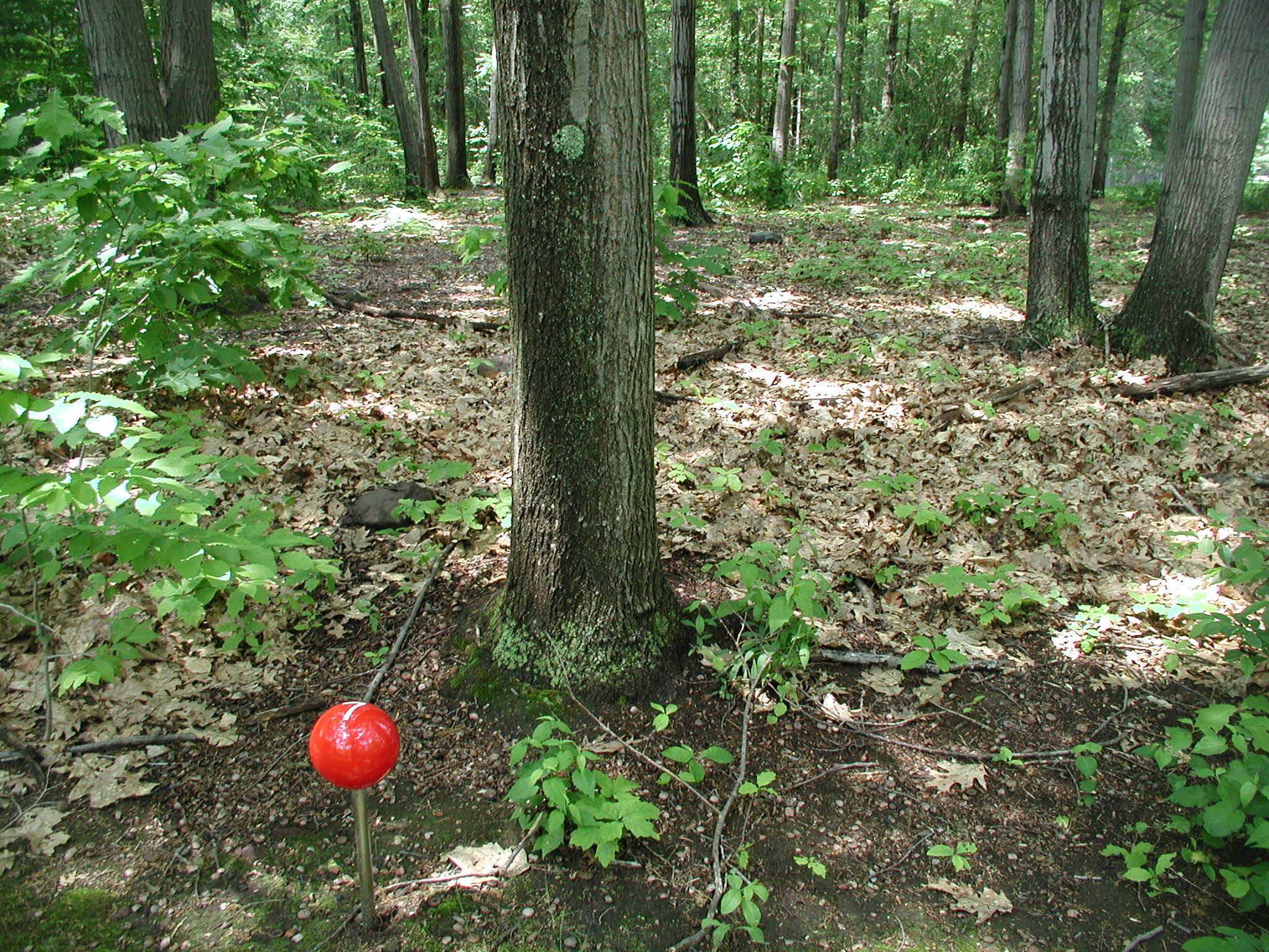
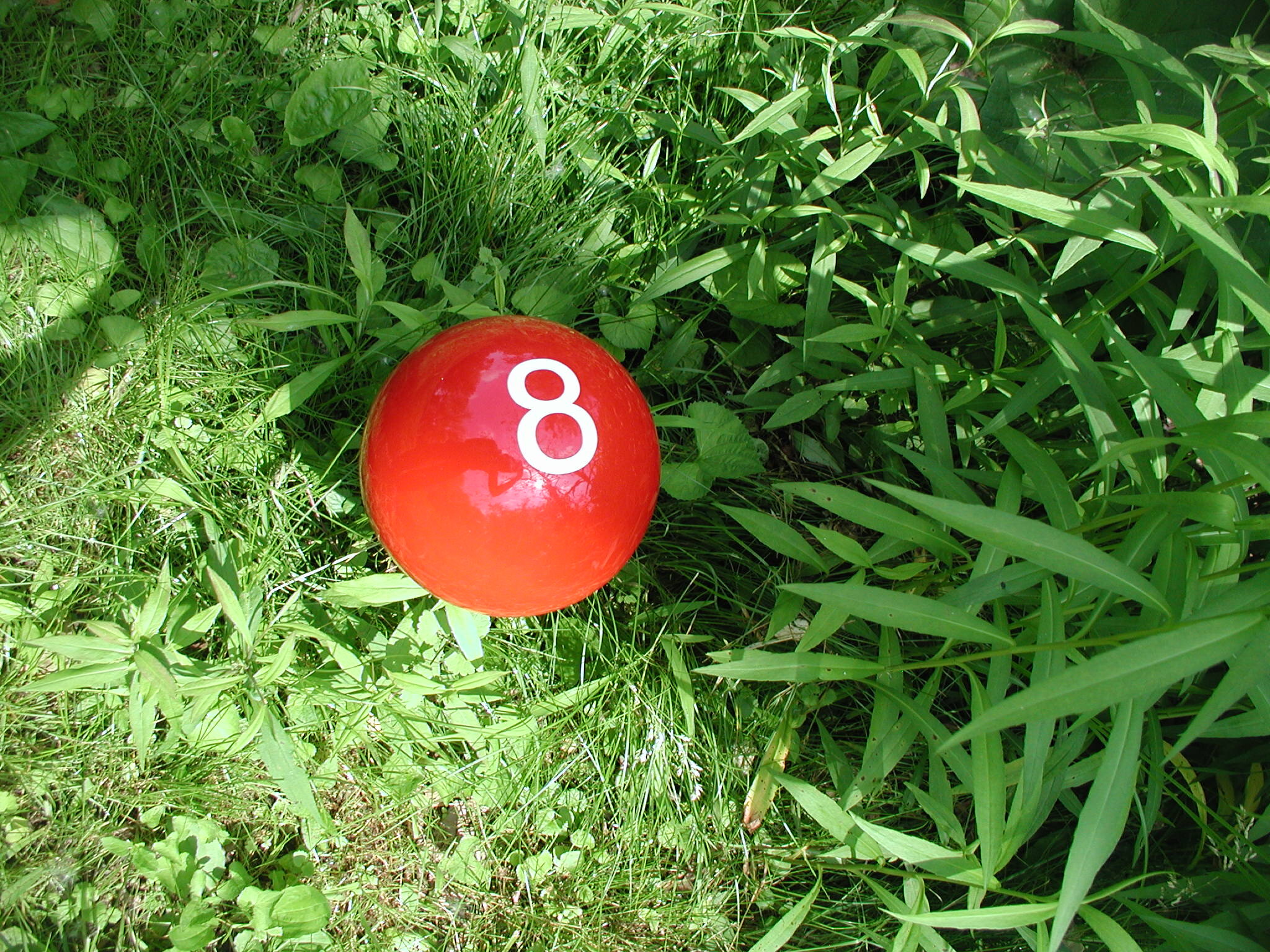
Along a 6-mile stretch of bike paths, parklands, and trails along the White River from Broad Ripple to White River State Park, approximately 100 markers situated viewers in the landscape and revealed different aspects of the river: the river’s history, ecology, and origins.
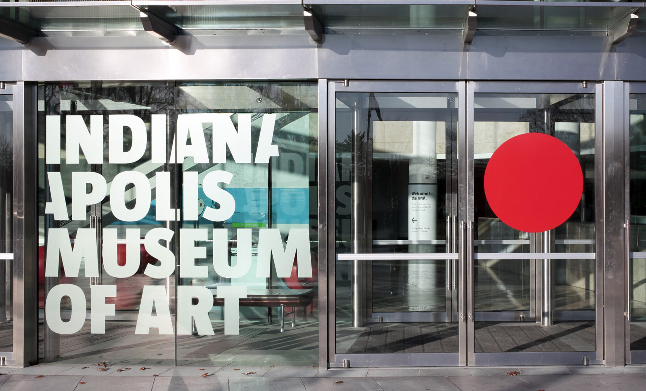
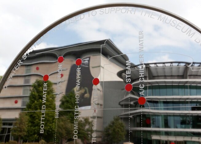
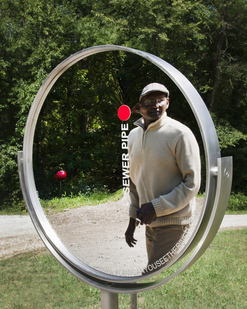
3-foot diameter red dots (some steel, some vinyl) can be found on the museum’s facade. These dots symbolized the six water systems that sustain the museum building.
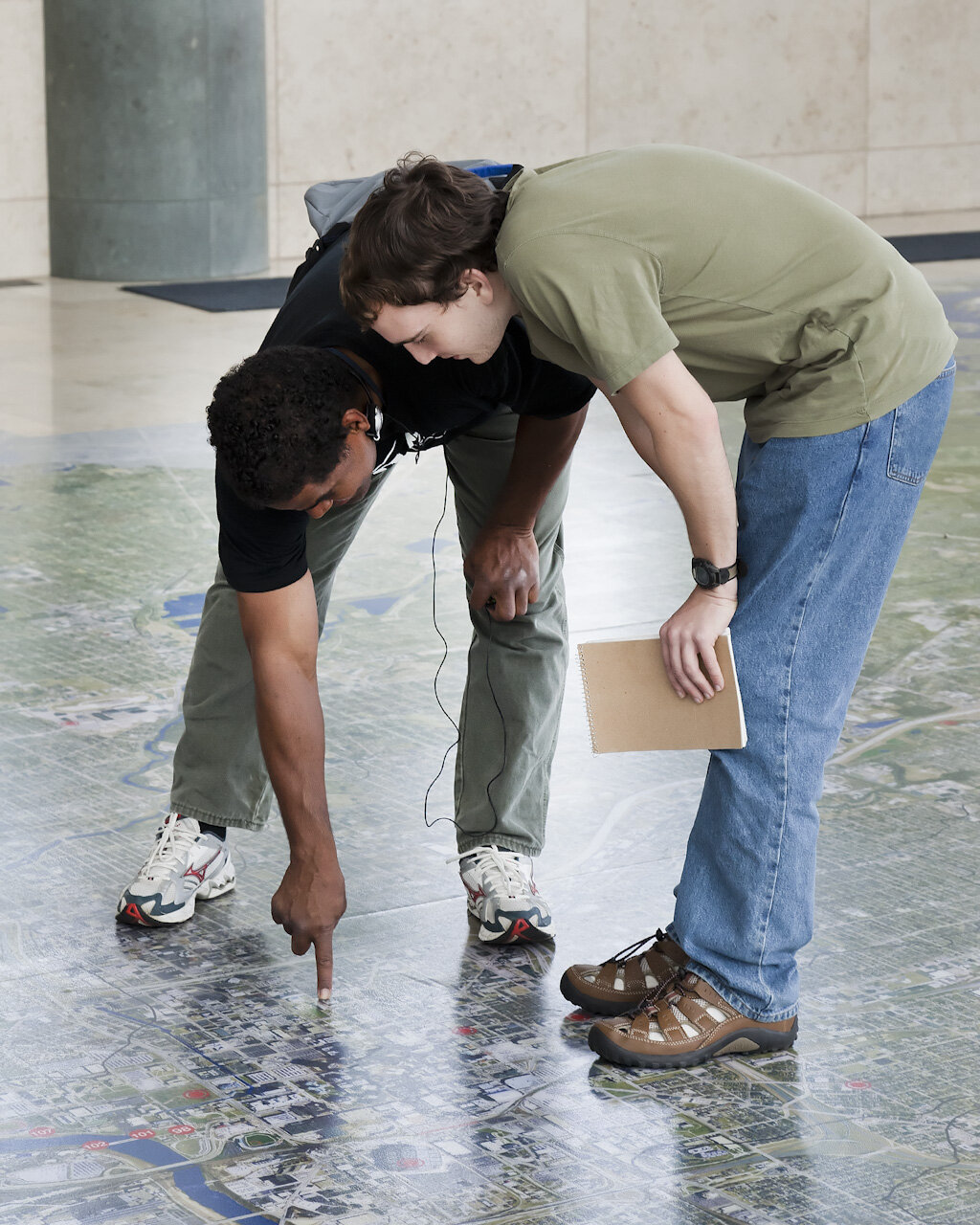
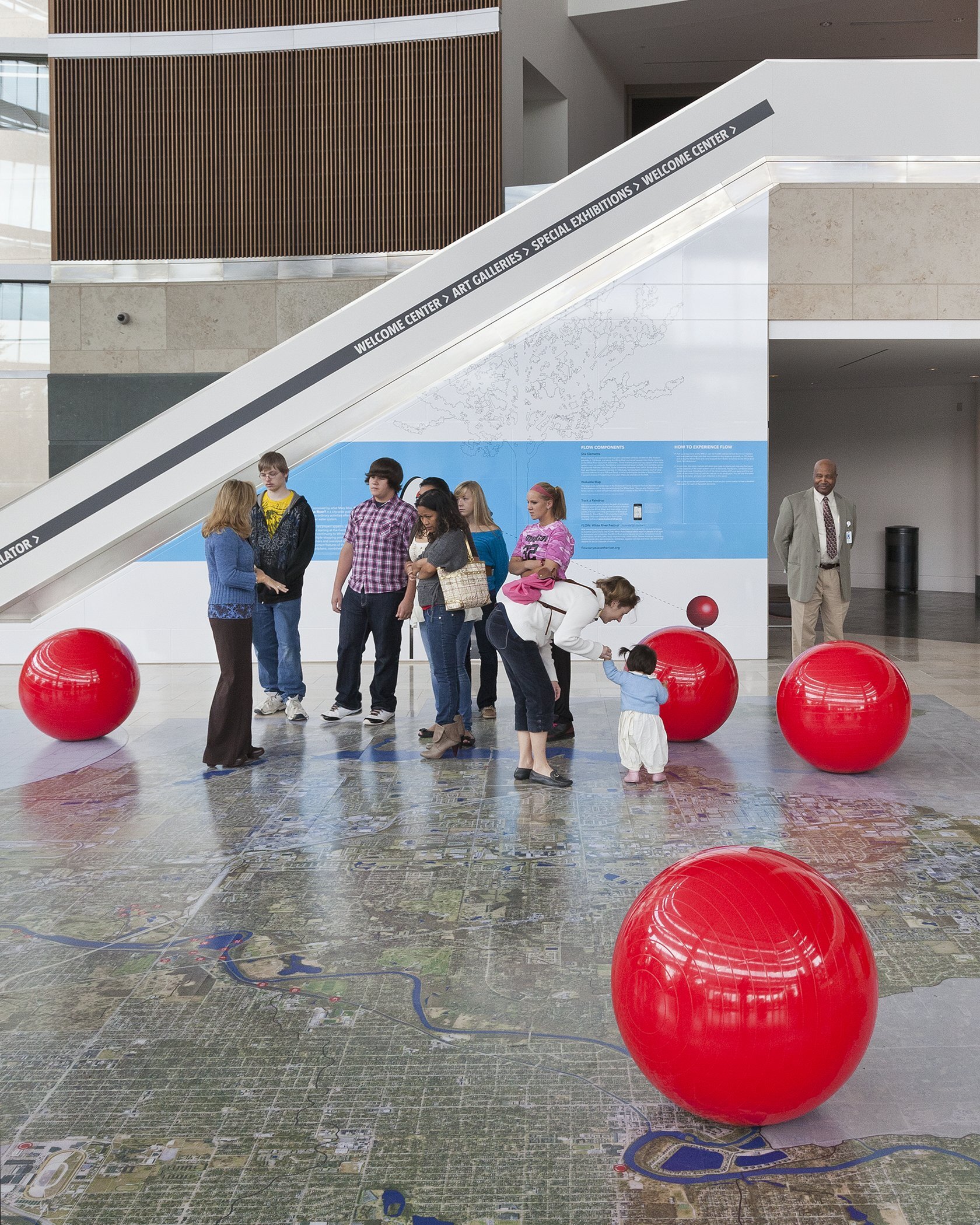
Inside the museum, Miss installed a walkable map of Indianapolis which enabled view to locate one’s own home in relation to the river, thus illustrating that all property is “riverfront” property.
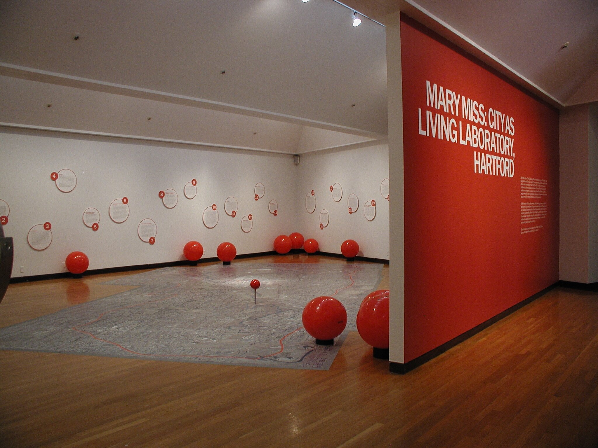
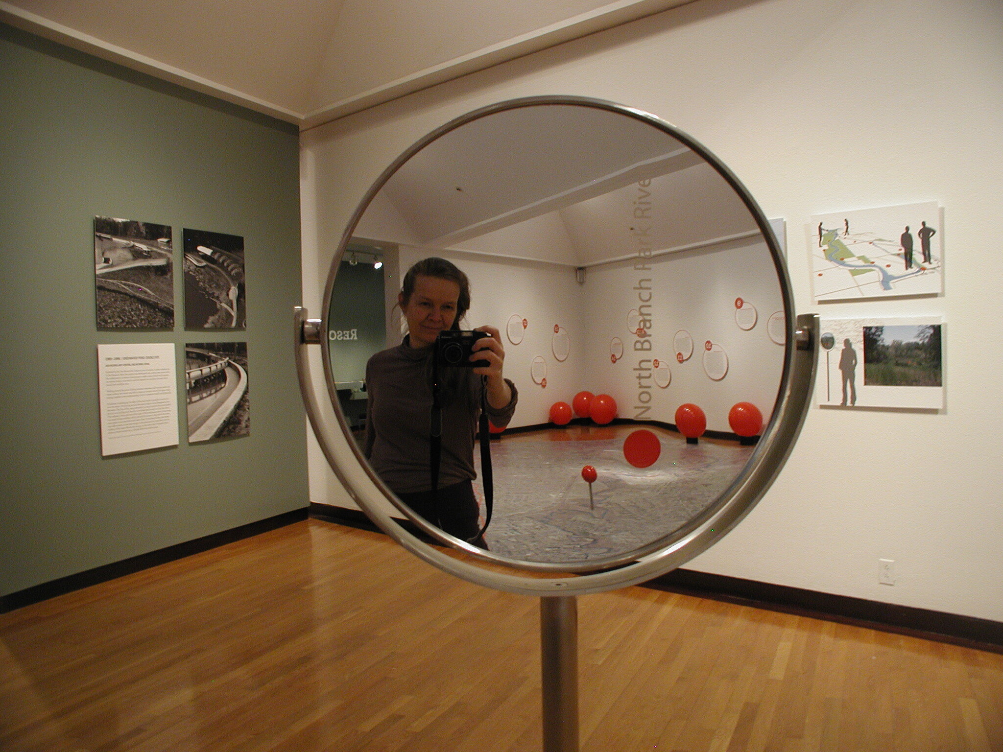
City as Living Laboratory, Hartford
Joseloff Gallery, University of Hartford, Hartford, CT
The FLOW (Can you See the River?) concept was installed in the Joseloff Gallery at the University of Hartford, where the installation focused on how the Park River makes its way through the campus. Similar to what she had done at the Indianapolis Museum of Art, Miss installed over-sized, sculptural map pins set along the University of Hartford’s section of the Park River watershed at areas identified by local scientists and historians who were working with Mary Rickel Pelletier, Director of the Park River Watershed Revitalization Initiative. Visitors could use a printed map that identified the content of each marker as they followed directional signage from the river to the Joseloff Gallery. At the gallery, a large floor map of the University’s section of the river was similarly marked and numbered.